Publications
Image Carousel
Publications Information
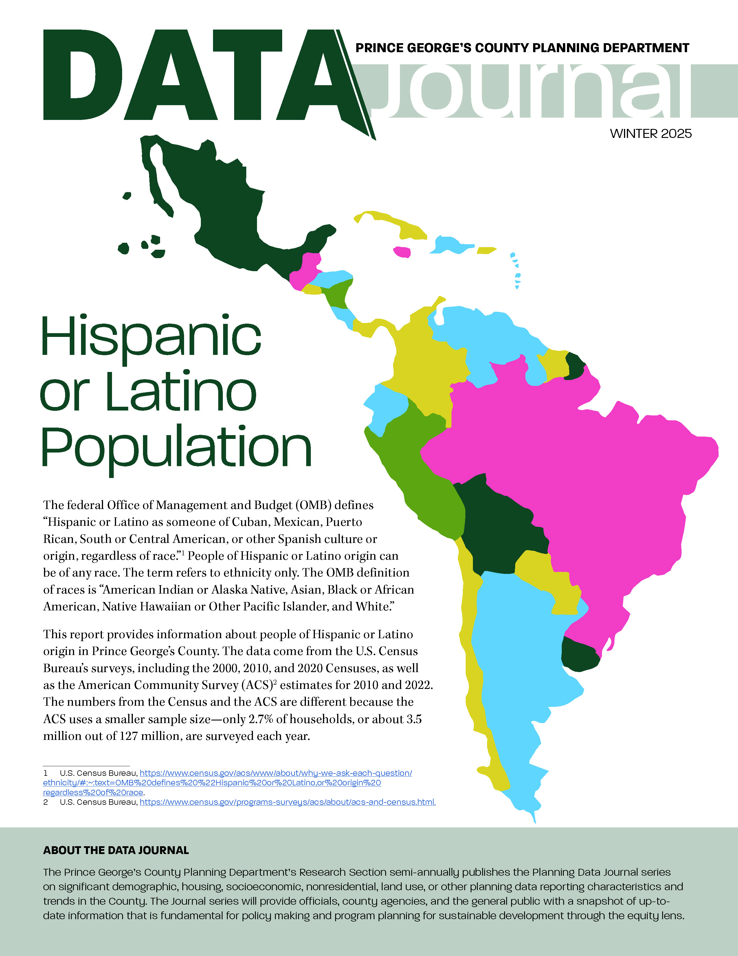
Data Journal-Winter 2025
Title:
Data Journal-Winter 2025
Author:
The Maryland-National Capital Park and Planning Commission
Prince George's County Planning Department
Source of Copies:
The Maryland-National Capital Park and Planning Commission
1616 McCormick Drive
Largo, MD 20772
Number of Pages:
16
This report provides information about people of Hispanic or Latino origin in Prince George’s County. The data come from the U.S. Census Bureau’s surveys, including the 2000, 2010, and 2020 Censuses, as well as the American Community Survey (ACS) estimates for 2010 and 2022.
Related Documents:
 Data Journal-Winter 2025
2015 Economic Development Toolbox
Title:
2015 Economic Development Toolbox
Author:
The Maryland-National Capital Park and Planning Commission<
Prince George's County Planning Department
Source of Copies:
The Maryland-National Capital Park and Planning Commission
14741 Governor Oden Bowie Drive
Upper Marlboro, MD 20772
Number of Pages:
110
The 2015 Economic Development Toolbox updates the 2011 Toolbox. The Toolbox is a catalog of resources and information about available government and private sector opportunities for support and assistance in economic development policies, strategies and projects. It provides a practical, readily accessible guide to elected officials, county agencies, local community and economic development practitioners, community technical assistance providers, private investors and developers, non-profits, community leaders, and the general public.
Related Documents:
2002 College Park US 1 Corridor Approved Sector Plan and Sectional Map Amendment
Title:
2002 College Park US 1 Corridor Approved Sector Plan and Sectional Map Amendment
Author:
The Maryland-National Capital Park and Planning Commission<
Prince George's County Planning Department
Publication Date:
04/01/2002
Source of Copies:
The Maryland-National Capital Park and Planning Commission
1616 McCormick Drive
Largo, MD 20774
Number of Pages:
312
This sector plan amends the 1989 Approved Master Plan and the 1990 Adopted Sectional Map Amendment for Langley Park, College Park and Greenbelt (Planning Areas 65, 66 and 67) for the sector area only. The plan also amends the 1982 Master Plan of Transportation and the 1975 Countywide Trails Plan. It was developed by the commission with the assistance of the College Park US 1 Corridor Advisory Planning Group. This document describes existing plans and policies, and analyzes land use, environment, zoning, population, housing, economic conditions, and impacts on public facilities. The plan incorporates Smart Growth planning principles and is in harmony with the concepts put forth in the Commission 2000 Biennial Growth Policy Plan report (July 2000) and the Biennial Growth Policy Plan adopted by the County Council in November 2000. It also implements concepts and recommendations contained within the City of College Park’s 1995 Comprehensive Plan, which ended a three-year planning process to determine the city’s future and desired development character for the US 1 corridor and town center. The document establishes a flexible land use and zoning concept that can respond to changing real estate market conditions. A Development District Overlay Zone (DDOZ) containing design standards and a table of permitted and prohibited uses are incorporated as part of the sectional map amendment (SMA). Together the DDOZ and SMA implement the sector plan’s land use and development character recommendations.An economic development strategy offers guidance in implementation of the desired land use and development character recommendations.
Related Documents:
2024 Carole Highlands Safe Mobility Study

Title:
2024 Carole Highlands Safe Mobility Study
Author:
The Maryland-National Capital Park and Planning Commission<
Prince George's County Planning Department
Source of Copies:
The Maryland-National Capital Park and Planning Commission
1616 McCormick Drive
Largo, MD 20774
Number of Pages:
140
The goal of the Carole Highlands Safe Mobility Study is to work in close partnership with local community and partner agencies—such as the Prince George’s County Department of Public Works and Transportation (DPW&T)—to develop design options that maximize safe mobility, support the Prince George’s County Vision Zero program and goals, and enhance access and connectivity to the Purple Line, University Boulevard, and other important community-identified destinations. This report describes existing conditions for mobility and access in Carole Highlands and provides recommendations for improving conditions.
Related Documents:
2016 Prince George's Plaza Approved Transit Distrtict Development Plan and Transit District Overlay Zoning Map Amendment
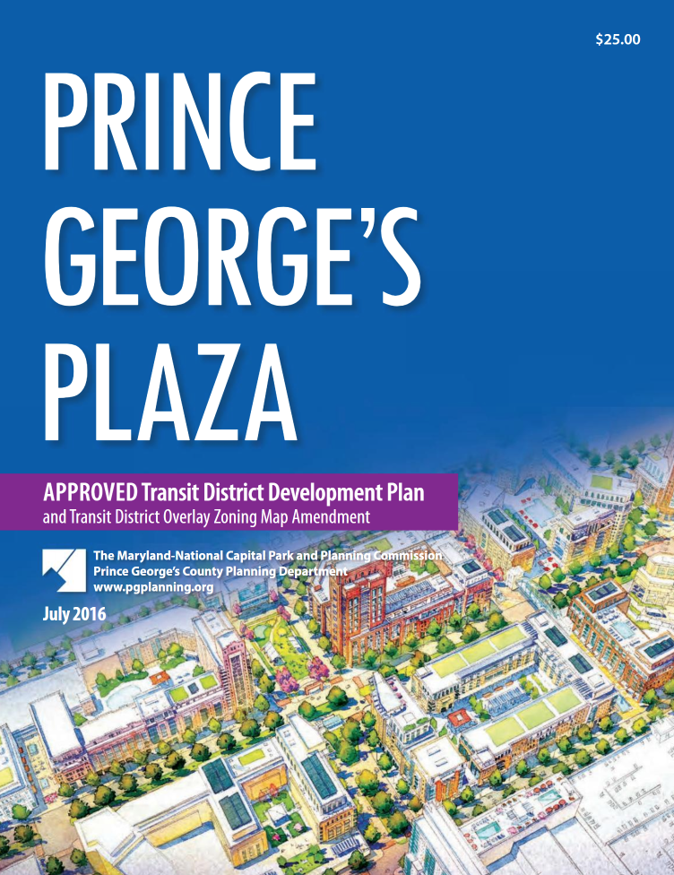
Title:
2016 Prince George's Plaza Approved Transit Distrtict Development Plan and Transit District Overlay Zoning Map Amendment
Author:
The Maryland-National Capital Park and Planning Commission
Prince George's County Planning Department
Publication Date:
07/01/2016
Source of Copies:
The Maryland-National Capital Park and Planning Commission
14741 Governor Oden Bowie Drive
Upper Marlboro, MD 20772
Number of Pages:
376
This document is the Transit District Development Plan (TDDP) and Transit District Overlay Zoning Map Amendment (TDOZMA) for the Prince George’s Plaza Regional Transit District. The plan contains a comprehensive vision to guide future development within the area along with implementation strategies to help realize the development vision. The Plan replaces the 1998 Prince George’s Plaza Approved Transit District Development Plan for the Transit District Overlay Zone. It also amends portions of the 2014 Plan Prince George’s 2035 Approved General Plan, the 1983 Adopted and Approved Functional Master Plan for Public School Sites, the 1994 Planning Area 68 Approved Master Plan and Sectional Map Amendment, the 2009 Countywide Master Plan of Transportation, and Formula 2040: Functional Master Plan for Parks, Recreation and Open Space (2014) for the portion of Planning Area 68 within the Prince George’s Plaza Regional Transit District and the Prince George’s County Zoning Map for that portion of Planning Area 68 within the Regional Transit District.
Related Documents:
Pupil Yield Factors & Public School Clusters: 2023-2024 Update
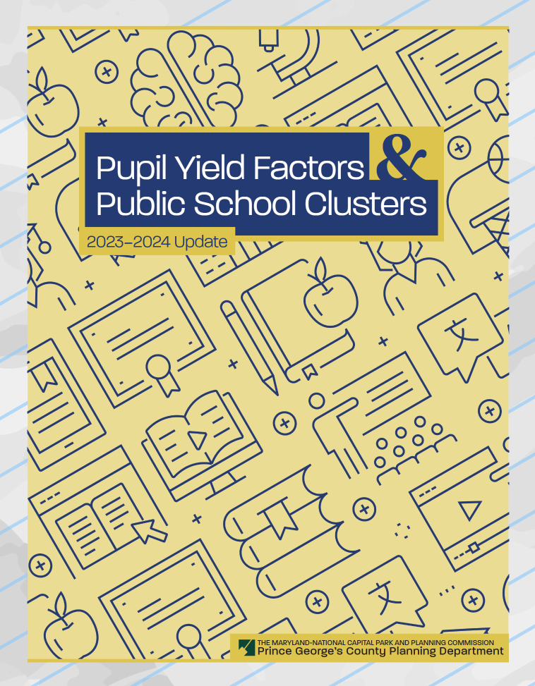
Title:
Pupil Yield Factors & Public School Clusters: 2023-2024 Update
Author:
The Maryland-National Capital Park and Planning Commission
Prince George's County Planning Department
Source of Copies:
The Maryland-National Capital Park and Planning Commission
1616 McCormick Drive
Largo, MD 20774
Number of Pages:
54
This report analyzes the pupil yield factors used in the regulatory review of preliminary subdivision plans and investigates a proposed development’s impact on Prince George’s County public schools. This study updates the pupil yield factors that are used in the regulatory review of preliminary plans of subdivision. These factors are used to measure the impact that a new subdivision will have on the public schools that might serve the proposed subdivision. To determine the schools that might be impacted by a
proposed subdivision, school clusters are created and updated by the County public school system. The school clusters are also part of this update.
Related Documents:
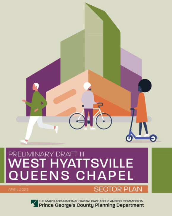
Staff Draft II: West Hyattsville-Queens Chapel Sector Plan
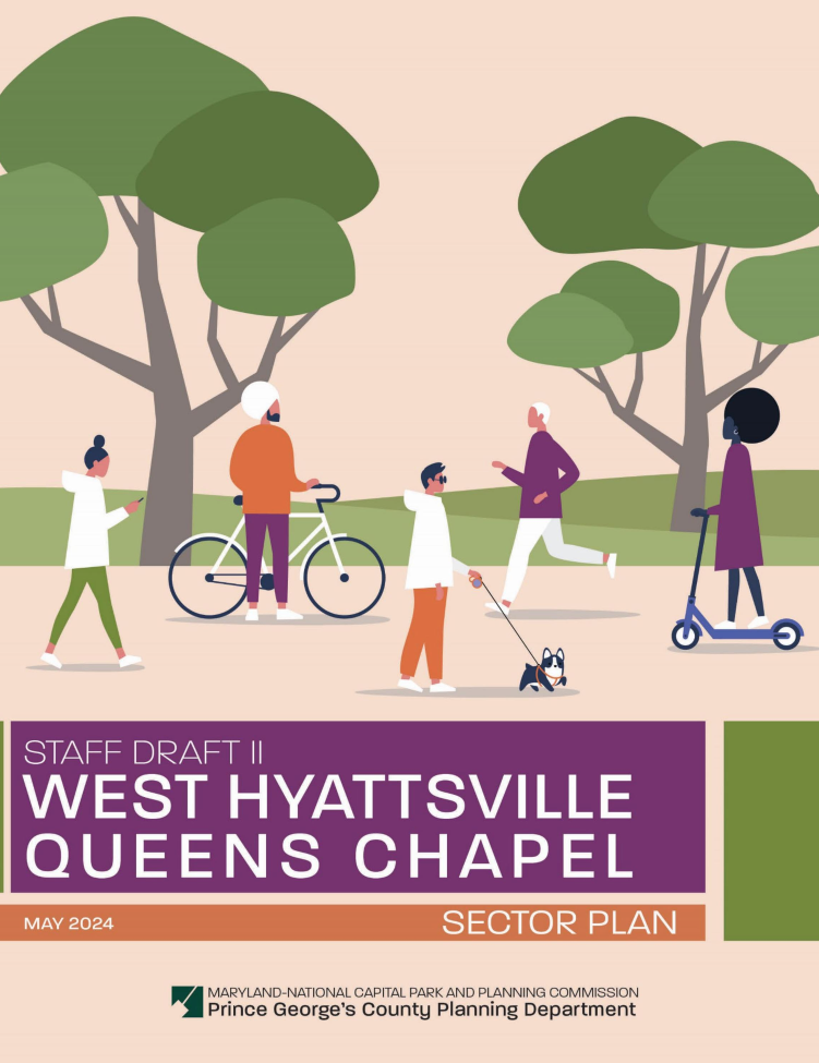
Title:
Staff Draft II: West Hyattsville-Queens Chapel Sector Plan
Author:
The Maryland-National Capital Park and Planning Commission
Prince George's County Planning Department
Publication Date:
05/01/2024
Source of Copies:
The Maryland-National Capital Park and Planning Commission
1616 McCormick Drive
Largo, MD 20774
Number of Pages:
284
The 2024 Staff Draft II West Hyattsville-Queens Chapel Sector Plan recommends directing future residential growth in and adjacent to the Plan 2035-designated West Hyattsville Local Transit Center and the Prince George’s Plaza Regional Transit District. This plan recommends maximizing the potential for transit-adjacent and pedestrian-friendly residential development while embracing a sensitive natural environment. The plan includes an implementation framework clearly illustrating the timeline, necessary partnerships, and key action items to implement the vision for the West Hyattsville-Queens Chapel area over the next 25 years.
2023 Annual Report on Growth, Prince George's County, Maryland
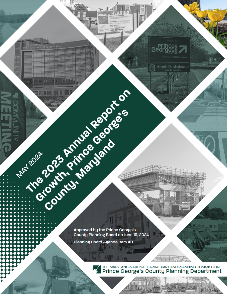
Title:
2023 Annual Report on Growth, Prince George's County, Maryland
Author:
The Maryland-National Capital Park and Planning Commission
Prince George's County Planning Department
Publication Date:
05/01/2024
Source of Copies:
The Maryland-National Capital Park and Planning Commission
1616 McCormick Drive
Largo, MD 20774
Number of Pages:
48
The Annual Report on Growth, required by Sections 1-207 and 1-208 of the Land Use Article in the Annotated Code of Maryland, summarizes residential and nonresidential development in Prince George’s County in 2023. It analyzes consistency with the County’s growth management policies that are outlined in the Plan Prince George’s 2035 land use goals per the State’s smart growth principles. The 2023 Annual Report on Growth is due to the Maryland Department of Planning by July 1, 2024.
Related Documents:
2017 Prince George's County Competitive Retail Market Strategic Action Plan
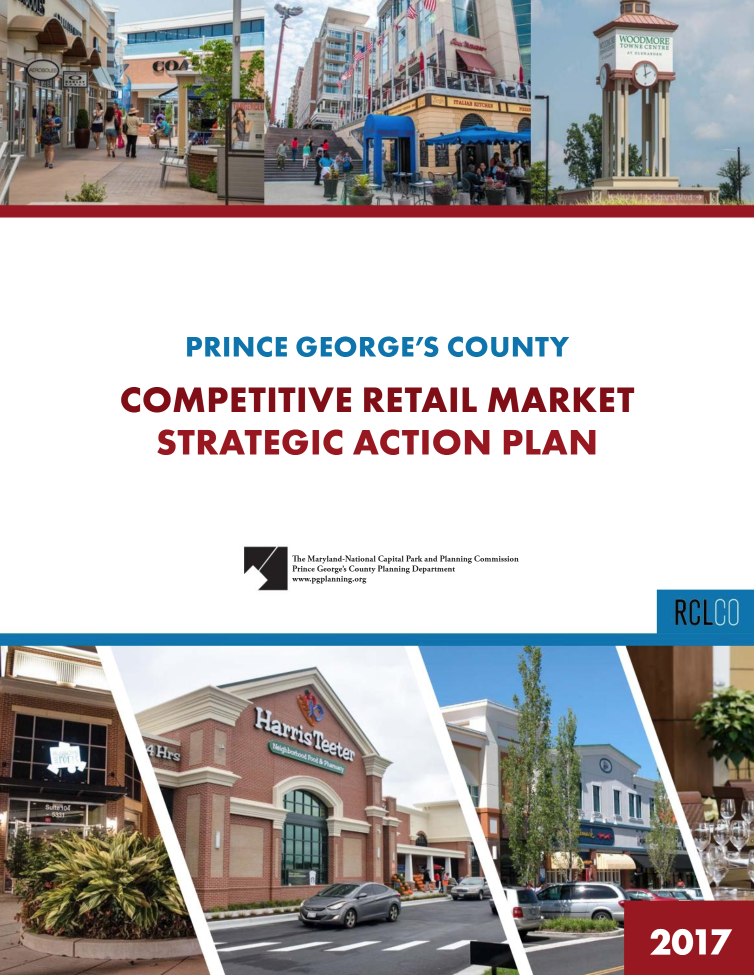
Title:
2017 Prince George's County Competitive Retail Market Strategic Action Plan
Author:
The Maryland-National Capital Park and Planning Commission
Prince George's County Planning Department
Publication Date:
06/01/2024
Source of Copies:
The Maryland-National Capital Park and Planning Commission
14741 Governor Oden Bowie Drive
Upper Marlboro, MD 20772
Number of Pages:
146
The Competitive Retail Market Strategic Action Plan outlines key measures, policies, programs, and financial incentives that the County can undertake to leverage areas of opportunity, strengthen and diversify the County’s local and regional retail base, attract and retain desired high-quality retail, and address the incidence of marginal, at risk, or failing retail centers. The Strategic Action Plan includes 6 major strategic actions, with 26 subactions, that are all based on key areas of opportunity. Each action and subaction recommends lead agencies, co-leaders or strategic partners, a timeline for implementation, resource planning estimates, and concrete and actionable guidance on how to successfully implement each action.
Related Documents:
Plan Prince George's 2035: Summary Booklet
Title:
Plan Prince George's 2035: Summary Booklet
Author:
The Maryland-National Capital Park and Planning Commission<
Prince George's County Planning Department
Publication Date:
06/10/2015
Source of Copies:
The Maryland-National Capital Park and Planning Commission
14741 Governor Oden Bowie Drive
Upper Marlboro, MD 20772
Number of Pages:
36
The information contained in this document is meant to be used as a summary of the larger Plan Prince George’s 2035 Approved General Plan book and should not be used as a legal binding document. The Plan Prince George’s 2035 Approved General Plan book can be purchased from The Maryland-National Capital Park and Planning Commission Information Services Counter located at the address below or viewed online at www.pgplanning.org.
Related Documents: