Publications
Image Carousel
Publications Information
Central US 1 Neighborhood Compatibility Study
Title:
Central US 1 Neighborhood Compatibility Study
Author:
The Maryland-National Capital Park and Planning Commission
Prince George's County Planning Department
Publication Date:
03/31/2026
Source of Copies:
The Maryland-National Capital Park and Planning Commission
1616 McCormick Drive
Largo, MD 20774
Number of Pages:
166
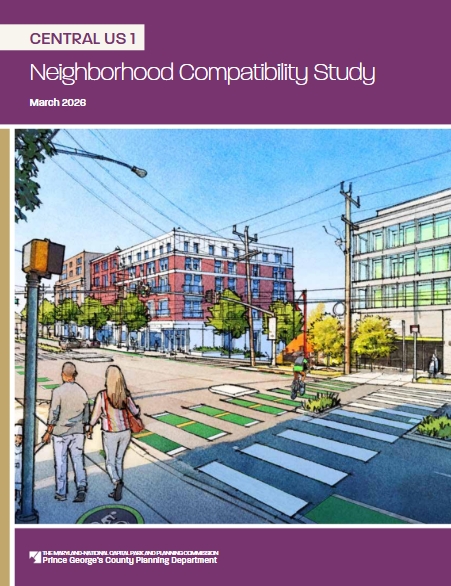
The 2025 Approved Central US 1 Neighborhood Compatibility Study envisions North College Park as a more vibrant, walkable, and attractive community where the neighborhood’s unique cultural identity, local economic assets, and natural resources are celebrated. The Study includes recommendations and guidance for further study to address land use, zoning, and development compatibility, to enhance local economic prosperity, to improve multimodal connectivity and safety, to reconcile environmental and flooding concerns, and to celebrate cultural identify and heritage through placemaking.
The Study was formulated over an approximate 12-month period, guided by a robust public engagement effort that included stakeholder meetings, interactive community workshops, a pop-up event, an online survey, a 4-day charrette, and open houses, or town hall-style meetings. The public engagement effort included input from Prince George’s County and City of College Park public agencies, elected officials, SHA, community residents, local businesses, and property owners. The Study describes the community’s vision for North College Park – namely, US 1 (Baltimore Avenue) and the Hollywood Commercial District.
Related Documents:
 2026 Central US 1 Neighborhood Compatibility Study
Walker Mill CDC Youth Wellness + Opportunities Assessment
Title:
Walker Mill CDC Youth Wellness + Opportunities Assessment
Author:
The Maryland-National Capital Park and Planning Commission
Prince George's County Planning Department
Publication Date:
02/20/2026
Source of Copies:
The Maryland-National Capital Park and Planning Commission
1616 McCormick Drive
Largo, MD 20774
Number of Pages:
74
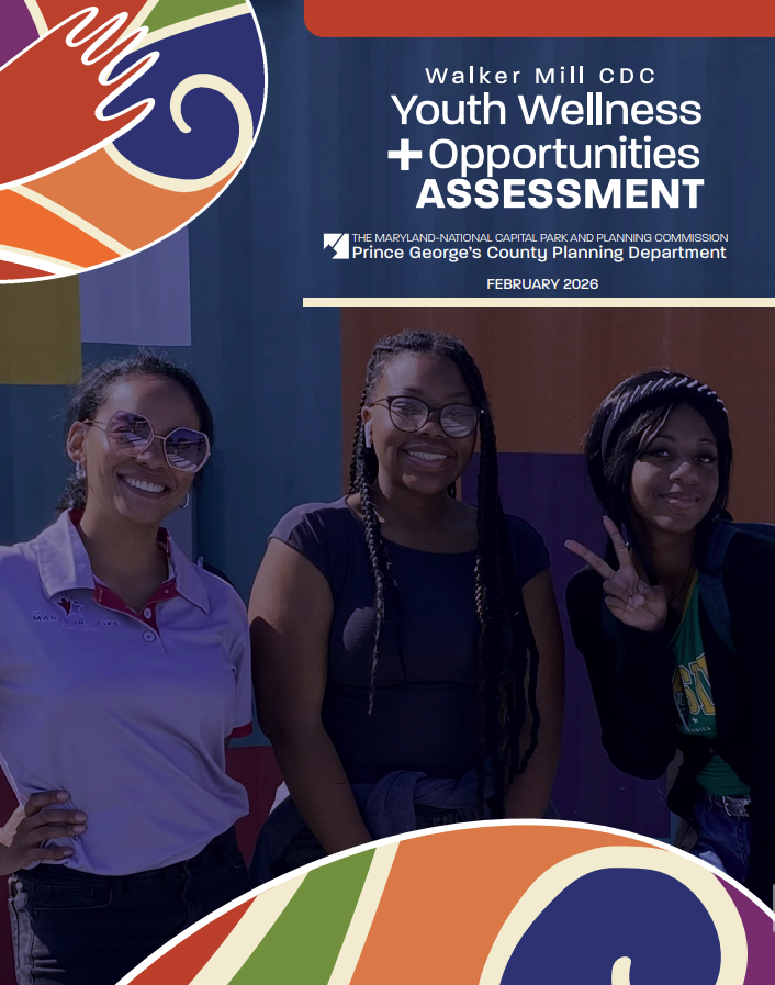
This Youth Opportunities and Wellness Assessment was developed for the Walker Mill Community Development Corporation (CDC). In fall 2022, the Walker Mill CDC applied for funding for a youth-oriented, community-driven assessment through the Prince George’s County Planning Department’s Planning Assistance to Municipalities and Communities (PAMC) program. Funding was approved by the Planning Board on June 22, 2023, and the project launched in September. The assessment aims to highlight community-identified challenges and propose solutions to reduce crime, violence, mental illness, and addiction while improving health and educational outcomes for youth in the unincorporated areas of Boulevard Heights, Oakland-Ridgway-Pennsylvania Avenue, and Walker Mill Road South in Prince George’s County, Maryland (Subregion 4, Planning Area 75A, Councilmanic Districts 6 and 7).
Related Documents:
Chesapeake Beach Rail Trail Segment Feasibility and Design Study
Title:
Chesapeake Beach Rail Trail Segment Feasibility and Design Study
Author:
The Maryland-National Capital Park and Planning Commission
Prince George's County Planning Department
Source of Copies:
The Maryland-National Capital Park and Planning Commission
1616 McCormick Drive
Largo, MD 20774
Number of Pages:
68
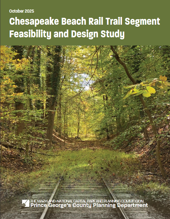
This document is a Feasibility and Design Study for a segment of the planned Chesapeake Beach Rail Trail in the Town of Upper Marlboro, a municipality located in Prince George’s County, Maryland (Planning Area 79, Councilmanic District 9). In Spring 2023, the Town of Upper Marlboro applied to the Prince George’s County Planning Department’s Planning Assistance to Municipalities and Communities (PAMC) program to fund the trail feasibility study. PAMC funding was approved by the Prince George’s County Planning Board on June 22, 2023, and the project kicked off August 24, 2023. The study documents existing conditions of potential trail alignments; explores trail alternatives and identifies their opportunities and challenges; and anticipates logistical and financial requirements. This feasibility study is consistent with the strategies adopted in the 2014 Plan 2035 Approved General Plan and the 2013 Approved Subregion 6 Master Plan.
Related Documents:
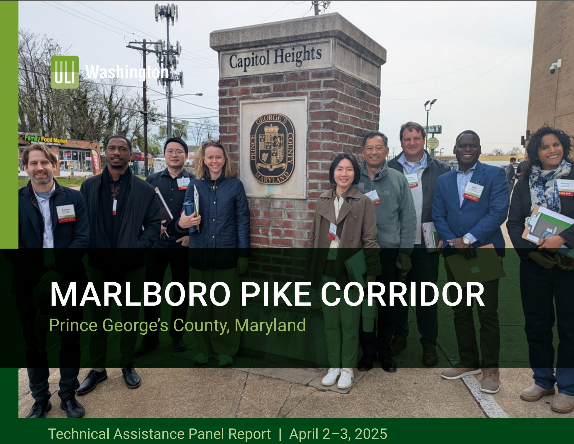
Marlboro Pike Corridor—TAP Presentation of Recommendations
Title:
Marlboro Pike Corridor—TAP Presentation of Recommendations
Author:
The Maryland-National Capital Park and Planning Commission<
Prince George's County Planning Department
Publication Date:
09/26/2025
Source of Copies:
The Maryland-National Capital Park and Planning Commission
1616 McCormick Drive
Largo, MD 20774
Number of Pages:
54
Related Documents:
Marlboro Pike Corridor TAP Report-April 2025
Title:
Marlboro Pike Corridor TAP Report-April 2025
Author:
The Maryland-National Capital Park and Planning Commission<
Prince George's County Planning Department
Publication Date:
08/01/2025
Source of Copies:
The Maryland-National Capital Park and Planning Commission
1616 McCormick Drive
Largo, MD 20774
Number of Pages:
32
Related Documents:
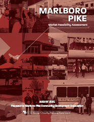
Marlboro Pike Market Feasibility Assessment
Title:
Marlboro Pike Market Feasibility Assessment
Author:
The Maryland-National Capital Park and Planning Commission<
Prince George's County Planning Department
Publication Date:
08/01/2025
Source of Copies:
The Maryland-National Capital Park and Planning Commission
1616 McCormick Drive
Largo, MD 20774
Number of Pages:
44
This document is a Market Feasibility Assessment for a portion of Marlboro Pike (Subregion 4, Planning Area 75A, Councilmanic Districts 6 and 7) bound to the west by Brooks Drive, east by the Capital Beltway, south by Pennsylvania Avenue (MD 4), and to the north by Darcy Road, Kipling Parkway, District Heights Parkway and Walker Mill Road approximately three miles. In July 2023, the Marlboro Pike Partnership Community Development Corporation applied to the Prince George’s County Planning Department via the Department’s Planning Assistance to Municipalities and Communities Program (PAMC) to fund a market feasibility assessment. Funding for the project was approved by the Prince George’s County Planning Board on December 14, 2023; the kickoff was held in February 2024, and the project was completed in February 2025. The purpose of the project was to analyze, interpret, and understand the current market and economic conditions of the study area; develop a report that details the capacity of the study area for economic growth; and provide recommendations to improve upon and advance the interests of the Marlboro Pike community based on an assessment of feasibility. The assessment builds on policies and strategies in the 2014 Plan 2035 Approved General Plan, the 2009 Approved Marlboro Pike Sector Plan and the 2010 Approved Subregion 4 Master Plan.
Related Documents:
Town of Upper Marlboro Design Guidelines
Title:
Town of Upper Marlboro Design Guidelines
Author:
The Maryland-National Capital Park and Planning Commission
Prince George's County Planning Department
Publication Date:
12/01/2014
Source of Copies:
The Maryland-National Capital Park and Planning Commission
1616 McCormick Drive
Largo, MD 20774
Number of Pages:
44
This document is a Market Feasibility Assessment for a portion of Marlboro Pike (Subregion 4, Planning Area 75A, Councilmanic Districts 6 and 7) bound to the west by Brooks Drive, east by the Capital Beltway, south by Pennsylvania Avenue (MD 4), and to the north by Darcy Road, Kipling Parkway, District Heights Parkway and Walker Mill Road approximately three miles. In July 2023, the Marlboro Pike Partnership Community Development Corporation applied to the Prince George’s County Planning Department via the Department’s Planning Assistance to Municipalities and Communities Program (PAMC) to fund a market feasibility assessment. Funding for the project was approved by the Prince George’s County Planning Board on December 14, 2023; the kickoff was held in February 2024, and the project was completed in February 2025. The purpose of the project was to analyze, interpret, and understand the current market and economic conditions of the study area; develop a report that details the capacity of the study area for economic growth; and provide recommendations to improve upon and advance the interests of the Marlboro Pike community based on an assessment of feasibility. The assessment builds on policies and strategies in the 2014 Plan 2035 Approved General Plan, the 2009 Approved Marlboro Pike Sector Plan and the 2010 Approved Subregion 4 Master Plan.
Related Documents:
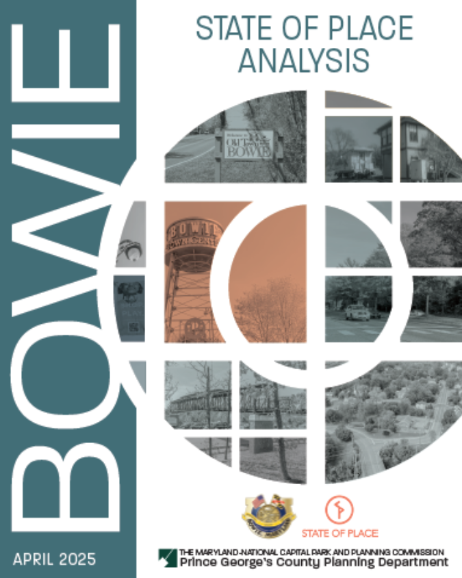
Bowie State of Place Analysis
Title:
Bowie State of Place Analysis
Author:
The Maryland-National Capital Park and Planning Commission<
Prince George's County Planning Department
Publication Date:
04/21/2025
Source of Copies:
The Maryland-National Capital Park and Planning Commission
1616 McCormick Drive
Largo, MD 20774
Number of Pages:
24
This document explains the State of Place statistical analysis of three commercial areas in the City of Bowie, Maryland: Bowie Local Center, MD 450 Corridor, and Old Town Bowie—identified in the 2022 Approved Bowie-Mitchellville and Vicinity Master Plan as having economic development potential. The State of Place analysis uses algorithms to quantify the economic value of urban design, provides recommendations to raise the economic development value of these areas, and estimates the increased economic value associated with implementing urban design improvements. Only a few examples of ideal scenarios are shown herein; the City of Bowie will continue to test scenarios to achieve the ideal roster of urban design changes needed. This project was funded and managed by the Prince George’s
County Planning Department’s Planning Assistance to Municipalities and Communities (PAMC) Program.
Related Documents:
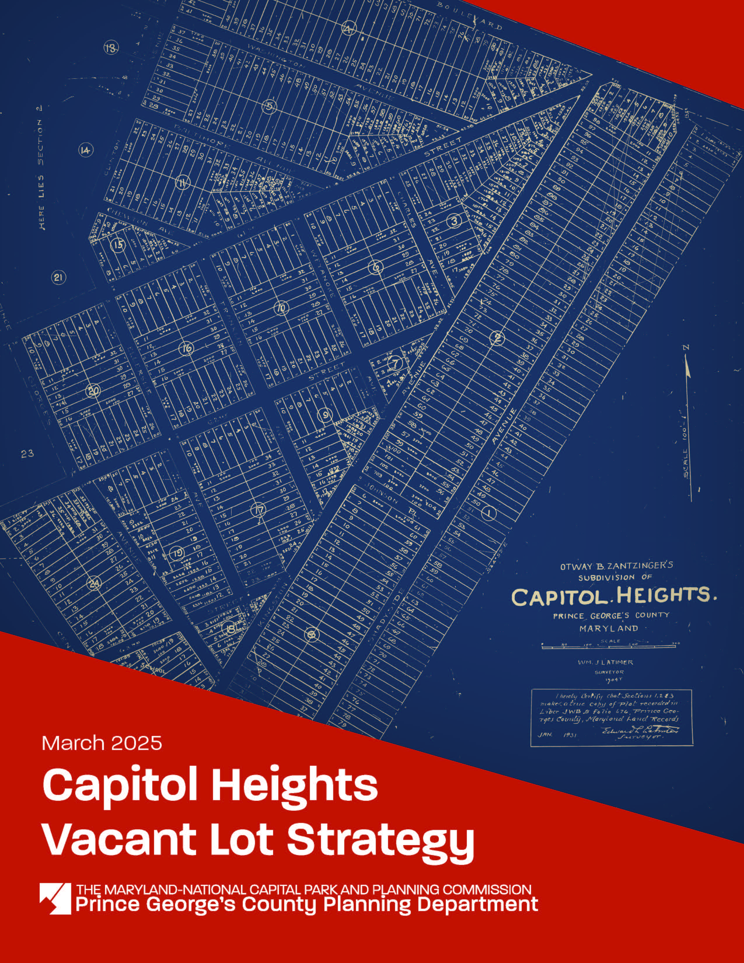
Capitol Heights Vacant Lot Strategy
Title:
Capitol Heights Vacant Lot Strategy
Author:
The Maryland-National Capital Park and Planning Commission<
Prince George's County Planning Department
Source of Copies:
The Maryland-National Capital Park and Planning Commission
1616 McCormick Drive
Largo, MD 20774
Number of Pages:
78
This document is a Vacant Lot Strategy for the Town of Capitol Heights, a small municipality located in Prince George’s County, Maryland, incorporated in 1910 (Planning Area 75B, Councilmanic District 7). In fall 2021, the Town applied to the Prince George’s County Planning Department’s Planning Assistance to Municipalities and Communities (PAMC) program to fund this strategy. PAMC funding was approved by the Prince George’s County Planning Board on May 26, 2022, and the project kicked off on January 13, 2023. The strategy
establishes a Vacant Lot Inventory; identifies existing regulatory, environmental, maintenance, and financial challenges; and provides goals and recommendations for maintaining, repurposing, and/or developing vacant lots. The Capitol Heights Vacant Lot Strategy aligns with
past and ongoing planning efforts by the Town, the County, and the greater Washington, DC region to support livable and transit-oriented communities.
Related Documents:
Pupil Yield Factors & Public School Clusters: 2024-2025 Update

Title:
Pupil Yield Factors & Public School Clusters: 2024-2025 Update
Author:
The Maryland-National Capital Park and Planning Commission
Prince George's County Planning Department
Source of Copies:
The Maryland-National Capital Park and Planning Commission
1616 McCormick Drive
Largo, MD 20774
Number of Pages:
50
This Report updates the pupil yield factors that are used in the regulatory review of preliminary subdivision plans. These factors are applied to analyze a proposed development’s impact on the public school districts where it may be located.
Related Documents: