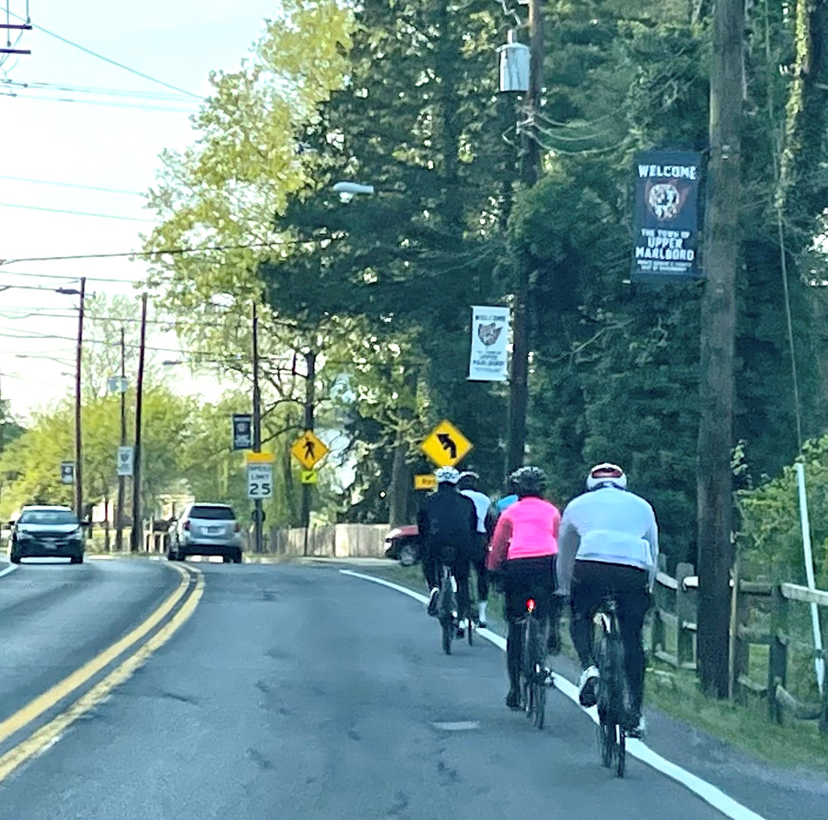
Active Transportation
Active Transportation Details
The Active Transportation Advisory Group (ATAG)
The Active Transportation Advisory Group (ATAG) held its first meeting as a successor advisory group to the former Bicycle and Trails Advisory Group (BTAG), which was founded in January 1998 at the direction of the County Executive’s Office.
Responsibilities
- Quarterly meetings will discuss general issues impacting bicycle, pedestrian, and shared-use paths in Prince George’s County.
- Review and comment on area master plans and sector plans.
- Recommend shared use path priorities to the County Executive and County Council for inclusion in the semi-annual Joint Signature Letter on State Transportation Priorities.
- Advise local agencies on shared use paths, bike and pedestrian access, and safety issues.
- Subcommittee meetings on specific topics, such as shared use path development, proposed legislation, or bikeway signage.
ATAG Meetings
ATAG virtual meetings take place quarterly on Microsoft Teams to address issues related to bicycle, pedestrian, and shared-use paths in Prince George’s County. Registration for the meetings will close at 1:00 p.m. on the day of the event. Registered participants will receive the Microsoft Teams meeting link via email on the day of the meeting. Please note that external participants must complete a CAPTCHA to access the meeting, and bots from external vendors or organizations will be blocked from joining.
Upcoming Meetings
| Date | Time | Meeting Agenda | Registration |
|---|---|---|---|
| 2026 | |||
| Monday, September 14, 2026 | 7:00 to 8:30 p.m | Agenda (TBA) | Registration Link (TBA) |
| Monday, December 7, 2026 | 7:00 to 8:30 p.m | Agenda (TBA) | Registration Link (TBA) |
Past Meetings
- Monday, June 1, 2026: Agenda | Minutes
- Monday, March 2, 2026: Agenda | Minutes
- Monday, December 1, 2025: Agenda | Minutes | Video of Virtual Meeting
- Monday, September 8, 2025: Agenda | Minutes | Video of Virtual Meeting
- Monday, June 2, 2025: Agenda | Minutes | Video of Virtual Meeting
- Monday, March 3, 2025: Agenda | Minutes | Video of Virtual Meeting
- Monday, December 2, 2024: Agenda | Minutes | Video of Virtual Meeting
- Monday, September 9, 2024: Agenda | Minutes | Video of Virtual Meeting
- Monday, June 3, 2024: Agenda | Minutes | Video of Virtual Meeting
- Monday, March 4, 2024: Agenda | Minutes | Video of Virtual Meeting
- Monday, December 4, 2023: Agenda | Minutes | Video of Virtual Meeting
- Monday, September 11, 2023: Agenda | Minutes | Video of Virtual Meeting
- Monday, June 5, 2023: Agenda | Minutes | Video of Virtual Meeting
- Monday, March 6, 2023: Agenda | Minutes
Assistance
M-NCPPC encourages the participation of persons with disabilities in all its programs and services. Register at least a minimum of two weeks in advance of the program start date to request and receive a disability accommodation. Call the Public Affairs Office at 301-952-3038, PublicAffairs@ppd.mncppc.org, or pgplan.org/assistance.

General ATAG Information
Maintenance Request Links
- PGC311: Prince George’s County Maintenance Request
- Maryland Department of Transportation /State Highway Administration Service Request Form
- Prince George’s County Park Maintenance: To report a park maintenance concern, please contact the Customer Service Help Desk at 301-699-2255.
Education and Safety
- Maryland Adult Bicycle Safety Education Videos
- Prince George’s County Vision Zero
Bicycles and Trails Links
ATAG Resources Reports
Effective Public/Private Partnerships and Citizen Involvement in Trail Planning (PDF)
A case study of the Prince George’s County Bicycle and Trails Advisory Group (BTAG) – now The Active Transportation Advisory Group (ATAG). Prince George’s County has many scenic greenways and parkland which can be used by hikers, bicyclists, equestrians and other trail users.
Potomac Heritage Trail On-Road Bicycling Route (PDF)
Potomac Heritage Trail On-Road Bicycling Route in southern Prince George’s County, Maryland, is part of the “Tidewater Potomac Heritage Bicycling Route” mapped by Adventure Cycling Association and local volunteers.
Explore Southern Prince George’s by Bicycle (PDF)
Use the Potomac Heritage National Scenic Trail’s Southern Maryland On-Road Bicycling Route through Prince George’s County.
Bicycle, Pedestrian & Trails Resource Reports
Northern Prince George’s East-West Bikeway Feasibility Study (June 2026)
Funded by the Transportation Land-Use Connections (TLC) program and the Regional Roadway Safety Program of the National Capital Region Transportation Planning Board at the Metropolitan Washington Council of Governments. The TLC program supports local jurisdictions in promoting mixed-use, walkable communities and a variety of transportation alternatives.
The Purple Line Corridor Access Study (CAST) – Recommendations Report (June 2011)
The overall goal of the CAST study is to evaluate multi-modal access to the 11 proposed Purple Line Locally Preferred Alternative (LPA) Stations within Prince George’s County. This report provides an additional piece of the overall plan for the development of the stations by providing further analysis and recommendations for pedestrian and bicycle access that was initiated by the Purple Line Bicycle Access and Bicycle Hub Location Study (Toole Study) completed in June 2010. Providing effective multi-modal access to the stations will be essential to the success of the Purple Line Light Rail system.
Several development projects and sector planning efforts are currently underway providing opportunities to implement new bicycle and pedestrian facilities around the stations. This report will provide additional information to help policy makers, planners and engineers make better decisions as design of the Purple Line LPA moves forward.
Naylor Road Metro Station Area Accessibility Study (PDF) (May 2011)
This plan focuses its recommendations around the concurrent planning efforts by WMATA and SHA, though some effort was made to provide input to those studies on behalf of Prince George’s County. Recommendations are aimed at improving the pedestrian and bicycle environment around the Naylor Road Metro station, with an emphasis on low-cost, near-term improvements. They include pedestrian crossing improvements, signal timing changes, traffic calming measures, and new facilities for pedestrian and bicycle comfort and convenience.
Central Avenue TOD Mobility Study (PDF) (March 2011)
The Central Avenue Transit-Oriented Development Corridor Pedestrian and Mobility Study was conducted as part of the National Capital Region Transportation Planning Board’s (TPB) Transportation/Land-Use Connections Program.1 The recommendations included here encourage the shift to a network of Complete Streets that over time improves mobility for all users and enhances existing or establishes new pedestrian and bicycle facilities. In addition to a Complete Streets approach, this study focuses on ways to increase the safety and comfort for pedestrians and bicyclists by creating safer conditions for all travelers.
The Purple Line Bicycle Access and Hub Location Study (PDF) (June 2010)
This National Capital Region Transportation Planning Board (TPB) Transportation / Land-Use Connections (TLC) Program study proposed locations for a multi-use pathway or trail alignment for the Purple Line in Prince George’s County, including bicycle lanes, shared use paths, and shared roadways. It contains recommendations to provide enhanced bicycle access to the stations by identifying missing links or gaps in the bicycle and pedestrian network and devising an enhancement regime.
The study, which was completed in June 2010, identified new bicycle hub locations that could contain bicycle storage, compressed air stations, water stations, and fuel (food) to improve access to transit and fulfill the mobility goals of the county.
New Carrollton Interim Pedestrian Safety Improvements (PDF) (June 2010)
This study evaluates the quality and adequacy of existing pedestrian infrastructure (e.g., sidewalks, crosswalks, traffic signals) and identifies locations for low-cost pedestrian safety improvements.
Town of Cheverly – Non-Motorized Transportation Study (PDF) (December 2009)
The objective of the project is to develop a formal plan based on a publicly-supported vision with specific recommendations and concepts to create a bicycle and pedestrian network within and around the Town, which can be used to program future capital improvement projects, either by the Town or jointly with the County, Park and Planning and/or State Highway. The goal of the Town of Cheverly Non-Motorized Transportation Study is to improve safety and accessibility for pedestrians and bicycles in the Town by recommending a transportation network to overcome existing physical barriers and re-connect the Town’s attractions and destinations.
MD 202 at Kilmer Street Intersection Safety Study (PDF) (July 2009)
The goal of the Town of Cheverly Non-Motorized Transportation Study is to improve safety and accessibility for pedestrians and bicycles in the Town. Major points of interest for bicycle and pedestrian connections include the Anacostia River Trail, Cheverly Metro Station, Prince George’s County Hospital Center, retail and commercial businesses along MD 202, multi-family residential units along MD 202, schools, and other recreational areas such as Euclid Park and Beaverdam Creek.
Spellman Elementary Safe Route to School Plan (PDF) (July 2009)
In support of the overall Non-Motorized Transportation Study, Vision Engineering and Planning was requested to prepare a Safe Route to School (SRTS) plan for the Gladys Noon Spellman Elementary School and the nearby St. Ambrose School and conduct a safety and operational analysis at the intersection of MD 202 at Kilmer Street.
Rhode Island Avenue Trolley Trail Extension Trail Concept Report (PDF) (December 2008)
This project proposes to extend that path south from Albion Street in College Park, through Riverdale Park and Hyattsville, to tie into the existing Northwest Branch Trail at Armentrout Drive, a distance of 2.0 miles.
Prince George’s Plaza Metro Area Study (PDF) (August 2008)
This study was conducted as part of the National Capital Region Transportation Planning Board’s (TPB) Transportation/Land-Use Connections Program. This study encourages “complete streets” that serve all users. It identifies short-term safety improvements and a long-term vision for pedestrian and bicycle mobility. Implementation of the recommendations will improve the pedestrian environment, while providing a model for similar efforts throughout the Washington, DC region.
Effective Public/Private Partnerships and Citizen Involvement in Trail Planning (PDF)
A case study of the Prince George’s County Bicycle and Trails Advisory Group (BTAG). Prince George’s County has many scenic greenways and parkland that can be used by hikers, bicyclists, equestrians, and other trail users.
Potomac Heritage Trail On-Road Bicycling Route (PDF)
The Potomac Heritage Trail On-Road Bicycling Route in southern Prince George’s County, Maryland, is part of the “Tidewater Potomac Heritage Bicycling Route” mapped by Adventure Cycling Association and local volunteers.
Explore Southern Prince George’s by Bicycle (PDF)
Use the Potomac Heritage National Scenic Trail’s Southern Maryland On-Road Bicycling Route through Prince George’s County.
Bulletin 4-2021 Bicycle Pedestrian Impact Statements
Current & Ongoing Plans
Some development projects and sector planning efforts are currently underway
- Updating Area Master Plan Links
- Adelphi Road Purple Line Area Sector Plan
- Bowie-Mitchellville and Vicinity Master Plan
- West Hyattsville-Queens Chapel Sector Plan
- Prince George’s County Department of Public Works Bicycle and Pedestrian
Network Plan Tool - The ATHA/Greenbelt Bike Share Feasibility Study – November 2016
- Countywide Master Plan of Transportation Bikeways and Trails (PDF) (November 2009)
APBP Bicycle Parking Guidelines
The Prince George’s County Zoning Ordinance Section 27-6309(a)(3) states, “(Bicycle) Racks must allow a bicycle’s frame to rest against the rack in at least two places, and for both a wheel and section of the frame to be secured to the rack simultaneously. Racks that allow only a wheel to rest against the rack will not be counted toward meeting the minimum bicycle requirements. Applicants should consult best practice sources such as the Association of Pedestrian and Bicycle Professionals Bicycle Parking Guidelines for guidance on appropriate racks to meet this requirement. See links below for examples of acceptable and unacceptable bicycle parking racks and examples of long-term bicycle parking facilities.